Creel & Copper Canyon Travel Guide
Creel and Copper Canyon guide: the Chepe train route, Barranca del Cobre, Tarahumara culture, canyon hikes, and how to plan the journey.
Guides for Creel
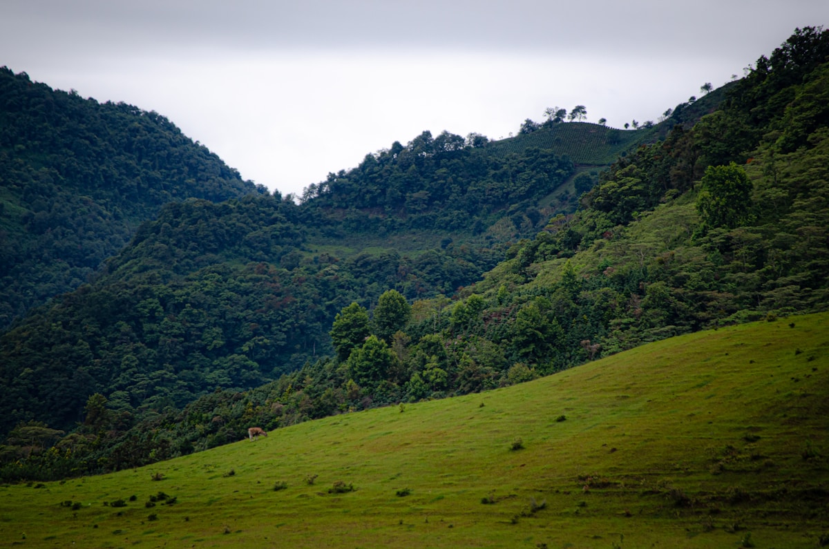
Copper Canyon is a system of six interconnected canyons in the Sierra Madre Occidental of Chihuahua that collectively dwarfs the Grand Canyon — both deeper (the deepest, Barranca de Urique, reaches 1,879 m) and wider. Creel is the main base town for exploring the canyon system, and the Chepe (Chihuahua al Pacífico railway) is the iconic way to reach it. The combination of spectacular scenery, indigenous Rarámuri (Tarahumara) culture, and one of the world’s great train journeys makes this one of Mexico’s most underrated travel experiences.
Quick reference
| Detail | Info |
|---|---|
| State | Chihuahua |
| Altitude (Creel) | 2,338 m |
| Best time | October–April (clear skies, cool nights) |
| From Chihuahua City | 5 hours by Chepe train or 4 hours by road |
| From Los Mochis | 8–9 hours by Chepe train |
| Climate | Cold nights year-round; snow possible Dec–Feb |
The Chepe — the train journey
The Chepe connects Los Mochis (Sinaloa, on the Pacific coast) to Chihuahua City over 655 km of track through dramatic mountain scenery. The route crosses 37 bridges and passes through 86 tunnels as it climbs from sea level to over 2,400 m.
Key stops: Los Mochis → El Fuerte (colonial town, good overnight) → Bahuichivo (for Cerocahui village and the Urique Canyon rim) → Divisadero (canyon rim viewpoint, cable car) → Creel (main base town) → Chihuahua City
Direction: Most travellers recommend west to east (Los Mochis → Chihuahua) for better light in the canyon sections, though either direction works.
Two classes: The Chepe Express is first class with a dining car, panoramic windows, and bar car (approximately MXN $3,500–5,000 Los Mochis–Creel). The Chepe Regional is the slower, cheaper service (approximately MXN $1,500–2,500) that stops at more communities and is used by locals — a more authentic experience but less comfortable.
Booking: Tickets sold at stations and online at chepe.mx. Reserve at least a week ahead in high season (October–March). The train runs three days a week in each direction.
Creel
Creel is a small mountain town that serves as the most accessible entry point to the canyon system. The town has a central plaza, a Jesuit mission church, Rarámuri craft stalls, several guesthouses and hotels, tour operators, restaurants, and basic services. Most visitors stay 2–3 nights to explore the surrounding area.
Important: Creel is cold. Temperatures drop to near freezing at night even in summer and well below freezing in winter. Bring warm layers regardless of when you visit — the altitude difference from coastal Mexico is dramatic.
Where to stay
| Property | Type | Approx. rate | Notes |
|---|---|---|---|
| Hotel Quinta Misión | Mid-range | From MXN $1,200/night | Best in town, log cabins, restaurant, fireplace |
| The Lodge at Creel | Mid-range | From MXN $900/night | Stone-built, central, heating |
| Casa Margarita | Budget | From MXN $400/night | Hostel-style, tours organised, meals available |
| Hotel Parador | Budget | From MXN $500/night | Simple, central, warm rooms |
| Posada Barrancas Mirador | Upscale | From MXN $2,500/night | At canyon rim (Divisadero area), stunning views |
What to see around Creel
Divisadero (1 hour by road or one train stop) — the canyon rim viewpoint where the scale of the system becomes clear. The Aventura Park at Divisadero has a cable car descending partway into the canyon (approximately MXN $350), zip lines (approximately MXN $400), and a via ferrata. Standing at the rim with multiple interconnected canyons stretching to the horizon is the definitive Copper Canyon moment.
Batopilas (4–5 hours by dirt road, 4x4 recommended) — a colonial silver-mining town at the canyon bottom. The descent from 2,400 m to 500 m passes through climate zones — pine forest gives way to subtropical vegetation, banana trees, and mangoes. The town has cobblestone streets, 18th-century buildings, a ruined cathedral, and very few tourists. Basic guesthouses are available for overnight stays. The drive itself is the highlight — one of the most dramatic roads in Mexico.
Cusárare (30 km from Creel) — a Jesuit mission built in 1690, a Rarámuri boarding school, and a 30 m waterfall through pine and oak forest. Easy half-day trip; the hike to the falls takes approximately 45 minutes.
Basaseachi Falls (3 hours north) — Mexico’s second-highest waterfall at 246 m, within a national park. A longer day trip but worth the journey for the viewpoint trail along the canyon rim.
Rock formations — the area around Creel has several volcanic formations: Valle de los Hongos (mushroom rocks), Valle de las Ranas (frog rocks), and Bisabirachi. Close to town, accessible on foot or by local transport. Pleasant walks on clear days.
Rarámuri (Tarahumara) culture
The Rarámuri are the indigenous people of the canyon region, numbering approximately 70,000–90,000. They are famous for long-distance running — the tradition of running ultra-marathons through the canyons in sandals (huaraches) is genuine and well-documented. Craft markets in Creel and along the train route sell handmade baskets, woven textiles, carved wooden figures, and pine-needle baskets. Prices are fair; aggressive bargaining is inappropriate.
Some tour operators offer visits to Rarámuri communities — choose operators who work directly with community members and contribute to local income rather than treating visits as spectacle.
Food in Creel
Creel’s restaurants are simple and serve northern Mexican food — flour tortillas, carne asada, beans, and stews. Restaurant Veronica (near the plaza) and La Cabana are reliable options (mains approximately MXN $80–150). The town’s bakeries make semita (a traditional wheat bread) and pan de nata. For a meal with a view, the restaurant at Hotel Quinta Misión serves better-quality food in a log-cabin setting.
When to go
October–November: The best time — clear skies, comfortable temperatures, and the canyons are still green from summer rains. October is widely considered the ideal month.
December–February: Cold and occasionally snowy at Creel’s altitude. The canyon bottoms remain warm. Christmas and New Year are popular with Mexican families.
March–May: Warming up, dry, clear views. Good for hiking.
June–September: Rainy season. Some roads may become impassable, particularly the Batopilas road. The canyons are lush and green but hiking is less predictable.
Getting there
- By Chepe train: From Los Mochis (8–9 hours) or Chihuahua City (5 hours). Three departures per week in each direction.
- By road from Chihuahua: 4 hours on Highway 16 through mountain terrain. Bus service available.
- By road from Los Mochis: The El Fuerte–Creel road is long and rough — the train is strongly preferred.
- Connecting to Mazatlán: The Durango–Mazatlán highway is accessible via Chihuahua–Durango (6 hours), making a Pacific coast connection possible for road trips.
More Creel Guides
Plan your trip: tours in the Copper Canyon · flights to Mexico · travel insurance · eSIM for Mexico.
See Also
- Copper Canyon Railway — detailed guide to the Chepe train route, stops, and booking
- Mazatlán Travel Guide — the Pacific coast city at the end of the Chepe line
- Getting Around Mexico — overview of trains, buses, and road travel in Mexico
- 3 Weeks in Mexico — a wider itinerary that includes northern Mexico
- Best Time to Visit Mexico — when to plan for clear canyon skies
Book an experience
Top experiences in Creel
Explore the best tours and activities in Creel — instant confirmation, free cancellation on most bookings.