San Cristóbal de las Casas Travel Guide
San Cristóbal de las Casas guide: highland Chiapas, Tzotzil Maya communities, Sumidero Canyon, Zapatista history, and cool mountain air.
Guides for San Cristóbal de las Casas
San Cristóbal de las Casas is a highland colonial town in Chiapas, at 2,200 m in the mountains of southern Mexico. It is the base for exploring the Maya communities of the Chiapas highlands — Tzotzil and Tzeltal villages within an hour of town — and for day trips to Sumidero Canyon, Palenque, and the Montebello Lakes. The town has a distinct bohemian character, a significant indigenous presence, and a long history of political activism dating from the 1994 Zapatista uprising.
Quick reference
| Detail | Info |
|---|---|
| State | Chiapas |
| Altitude | 2,200 m |
| Population | ~220,000 |
| Climate | Cool year-round (15–22°C), cold at night |
| Nearest airport | Tuxtla Gutiérrez (TGZ), 80 km west |
| From Mexico City | 1.5-hour flight to Tuxtla + 1.5 hours by road |
| From Oaxaca | 12 hours by bus |
| Best time | Year-round; Semana Santa is peak |
Sights
| Sight | Entry | Notes |
|---|---|---|
| Templo de Santo Domingo | Free | 1547, elaborate baroque gold facade |
| Catedral de San Cristóbal | Free | Main plaza, 16th century |
| Na Bolom | ~MXN $50 | Lacandón Maya cultural centre |
| Museo de la Medicina Maya | ~MXN $40 | Indigenous medical practices |
| Museo del Ámbar | ~MXN $30 | Chiapas amber collection |
| Chamula church | ~MXN $30 | Syncretic Tzotzil rituals, no photos |
| Cañón del Sumidero boat | ~MXN $250/person | 1,000 m canyon walls, 2-hour boat |
The city
The Templo de Santo Domingo (1547–1574) has one of the most elaborate baroque facades in Mexico — a gold-and-plaster exterior of saints, angels, and double-headed eagles. The textile market in its atrium is the best in the city — handwoven huipiles, blouses, and textiles sold directly by Tzotzil women from surrounding villages. Quality and prices are both good.
The Catedral de San Cristóbal (16th century) anchors the main plaza. The Andador Eclesiástico (pedestrianised main street) runs between the cathedral and Santo Domingo — cafés, bookshops, amber jewellery shops, and craft stores line both sides.
Na Bolom (approximately MXN $50, guided tours) — the former home of anthropologist Gertrude Duby Blom, now a cultural centre and museum covering the Lacandón Maya — the last uncontacted Maya group, still living in the Chiapas jungle. The photographic archive is exceptional.
Museo del Ámbar (approximately MXN $30) — Chiapas produces some of the finest amber in the world, mined from deposits near Simojovel. The museum explains the geology and displays exceptional pieces including amber with insect inclusions.
Indigenous villages
The villages in the surrounding highlands have maintained distinct Tzotzil and Tzeltal cultures through five centuries of colonial and modern pressure.
San Juan Chamula (10 km northwest) — the church here is one of the most remarkable in Mexico. The interior is covered in pine needles and candles; Catholic iconography has been overlaid with pre-Christian Tzotzil ritual — candles, incense, ritual healers, and offerings of Coca-Cola and pox (sugarcane spirit). Photography is strictly prohibited inside the church and enforcement is serious. Entry approximately MXN $30. The village market (Sundays) surrounds the church with produce and textiles.
Zinacantán (12 km west) — known for embroidered textiles in distinctive pinks and purples. The women’s cooperative at the church sells directly; home visits with backstrap loom demonstrations are available. Calmer and more welcoming to visitors than Chamula.
Both villages are reachable by colectivo from the Mercado de Abastos terminal (approximately MXN $20 each, frequent). The combined half-day trip is easy without a tour — take the colectivo to Chamula first, then another to Zinacantán, and return to San Cristóbal.
Cañón del Sumidero
35 km northwest (via Tuxtla Gutiérrez), the Cañón del Sumidero is a dramatic gorge where the Grijalva River flows between walls rising 1,000 m. Boat tours from Chiapa de Corzo travel the canyon floor (2 hours, approximately MXN $250 per person). Watch for herons, crocodiles, and spider monkeys. The colonial town of Chiapa de Corzo (with its impressive 16th-century fountain) makes a good stop before or after.
Tour operators in San Cristóbal run combined bus-and-boat packages (approximately MXN $400–600 per person, full day). Alternatively, take a colectivo to Chiapa de Corzo and book independently at the dock for less.
Zapatista context
San Cristóbal was the site of the EZLN (Zapatista) uprising on 1 January 1994 — an armed indigenous movement protesting land rights, autonomy, and NAFTA. The political background is documented in several museums and cultural spaces. Murals throughout the city reference the movement. Autonomous Zapatista communities (caracoles) exist in the surrounding highlands — some are open to respectful visitors, but ask locally for current guidance.
Food
San Cristóbal’s food scene combines highland indigenous cuisine, Chiapas regional cooking, and a well-developed café culture fed by the state’s excellent coffee.
| Spot | What to try | Approx. price |
|---|---|---|
| TierrAdentro | Chiapas regional cuisine (chipilín, hierba santa) | Mains MXN $120–200 |
| Namandi | Coffee, Chiapas cheese boards | MXN $80–150 |
| Café Museo Café | Chiapas single-origin coffee | MXN $40–60/cup |
| Cafeología | Specialty coffee, chocolate | MXN $50–80 |
| La Casa del Pan | Organic bakery, vegetarian | MXN $60–120 |
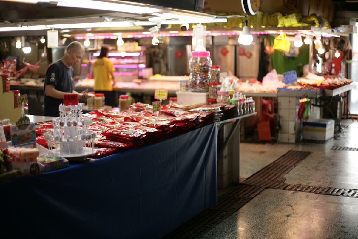
| Mercado Municipal | Tamales, cheap breakfasts, produce | Meals MXN $40–70 |
Chiapas tamales (wrapped in banana leaves with pork and achiote), cocido chiapaneco (hearty meat-and-vegetable broth), and pox (traditional Tzotzil sugarcane spirit) are the essential local flavours.
Where to stay
| Property | Type | Approx. rate | Notes |
|---|---|---|---|
| Hotel Bo | Boutique | From MXN $3,000/night | Design hotel, central, restaurant |
| Casa Felipe Flores | Boutique | From MXN $1,800/night | Colonial guesthouse, breakfast, garden |
| Hotel Diego de Mazariegos | Mid-range | From MXN $1,000/night | Colonial building, central, courtyard |
| Posada del Abuelito | Budget | From MXN $350/night | Hostel, dorms and privates, central |
| Rossco Backpackers | Budget | Dorms from MXN $200/night | Social, good location |
Stay in the centro — everything is walkable and the evening atmosphere on the Andador is the best part of the San Cristóbal experience.
Getting there
- By air: Fly to Tuxtla Gutiérrez (TGZ), 80 km west. From the airport, colectivos and shuttles run to San Cristóbal (1–1.5 hours, approximately MXN $200–300)
- From Palenque: 5 hours by ADO bus (several daily, approximately MXN $350)
- From Oaxaca: 12 hours by overnight bus
- From Mexico City: Fly to Tuxtla (1.5 hours), then road transfer
When to go
The highland climate is cool year-round — bring a jacket regardless of season. Rain falls May–October. The city’s Semana Santa (Holy Week) celebrations are elaborate and draw large crowds — book accommodation early. The Festival Cervantino Barroco (October) brings performing arts to the colonial churches.
More San Cristóbal de las Casas Guides
- Day Trips in San Cristóbal de las Casas
- Food to Try in San Cristóbal de las Casas
- Things to Do in San Cristóbal de las Casas
Comparison Guides
Plan your trip: tours in San Cristóbal · flights to Mexico · travel insurance · eSIM for Mexico.
See Also
- Palenque Travel Guide — 5 hours north, the Maya ruins in the lowland jungle
- Oaxaca City Travel Guide — 12 hours west, the highland city most frequently compared with SCC
- Oaxaca–Chiapas Itinerary — a route connecting both cities through the southern highlands
- Palenque Ruins — the most important Maya archaeological site accessible from San Cristóbal
Book an experience
Top experiences in San Cristóbal de las Casas
Explore the best tours and activities in San Cristóbal de las Casas — instant confirmation, free cancellation on most bookings.